山麓6時-5度風よわく降雪なし視界良 見返り800m-9度東1.6m降雪なく視界良 花園800m-5.2度南南西4.4m降雪12時間なし 日本海弁慶岬南南東4m 神威岬南南東4m気圧1019hPa波高0.6m、
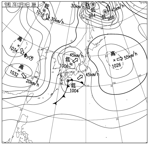
新たな降雪はなく標高800m以上のウィンドスラブは時間の経過とともに圧密安定、全体の雪崩リスクは低いが標高1000m付近の雪庇は破断しやすいので注意。雪不足で笹が寝ておらず圧雪コース以外は滑走不適、次の嵐に期待。低気圧の接近で午後に低気圧前面降雪が始まりその後風雪が強まる。強い風雪は稜線風下側に雪庇やふきだまりを急成長させ雪崩リスクが上がる、今後の降雪推移に注意。
雪崩事故の多くは吹雪の最中かその直後に起こっている。山に入る時は気象変化によるリスクを想像し、無理のない登山や滑走計画を。ゲレンデからのコース外滑走はまだ出来ない。安易にロープをくぐってはならない。ゲストはスキー場の規則を守らなければならず、またリフトの横入りをしてはならない。国籍に関係なく品位が問われる。怪我のない楽しい日曜日を。
Moiwa base at 6am: -5℃, light winds, no new snow, good visibility. Moiwa Mikaeri 800m: -9℃, E1.6m/s, no new snow. Hanazono 800m: -5.2℃, SSW4.4m/s, no new snow in the last 12hrs. Coastal data: Benkei cape SSE4m/s, Kamui cape SSE4m/s, 1019hPa, wave height 0.6m.
There has been no new snowfall and wind slabs above 800m have consolidated. The overall avalanche risk is low, however be careful as cornices around 1000m are prone to breakage. Due to the lack of snow the bamboo grass has not yet flattened, making only groomed runs suitable for skiing. Lets hope the next storm covers them up. Snowfall is expected to start in the afternoon from the front of an approaching low pressure system. Strong winds and snow will follow, bringing rapid cornice and snowdrift growth on the lee sides of ridges. The avalanche risk will increase. Pay close attention to future snowfall trends.
Most avalanche accidents occur during or immediately after snowstorms. When entering the mountains, please consider the risks of weather changes and plan your climb and skiing accordingly. Skiing off-piste is not yet permitted. Do not thoughtlessly duck under ropes. Guests must follow the ski resort rules and must not cut lift lines. Respect for all is required regardless of nationality. Have a fun, injury-free Sunday.