ニセコ雪崩情報 第97号
Niseko Avalanche Information No.97
Friday 13/03/2026 金曜日
山麓-1度夜半風強くふきだまり発達降雪わずか モイワ800m-5.0度東7.2mふきだまり発達降雪わずか アンヌプリ1100m-7.0度北北東6.0m ビレッジ1000m-5.8度北北東13.6m ヒラフ花園1000m-6.4度北13.1m 花園800m-4.3度北5.4m 日本海弁慶岬東北東7m 神威岬東北東5m気圧1025hPa波高不明、
上空は北寄りの風が強くリフト運行困難、各山頂ゲートは事故防止のため閉じられる。雪の量は少ないが飛雪によるふきだまりが発達、雪庇は薄く伸びて破断しやすい。ふきだまりが40cmを越えた開けた急斜面では弱線破断による雪崩に注意、風に叩かれてクラストした標高差のある急斜面では高速の浅い表層雪崩(魔法の絨毯なだれ)に注意、アンヌプリボウル、バックボウル、モイワ見返りボウルでは全層雪崩に注意。事故を防ぐため谷底にいてはならない。春への移行期の現在は様々な雪崩の可能性がある。知識経験を過信せず常に用心を。標高1500m以上は引き続き風が強い。羊蹄山山頂にはパタゴニアのような傘雲がかかっている。山に入る時は十分な準備を。この情報は山系7か所の風向風速、気温データと2か所の海上保安庁灯台データを基に作られている。数字は嘘をつかない。良い一日を。
Moiwa base 6am: -1℃, strong winds overnight, snowdrift formation, light snowfall. Moiwa 800m: -5.0℃, E7.2m/s, light snowfall, snowdrift formation. Annupuri 1100m: -7.0℃, NNE6.0m/s. Village 1000m: -5.8℃, NNE13.6m/s. Hirafu Hanazono 1000m: -6.4℃, N13.1m/s. Hanazono 800m: -4.3℃, N5.4m/s. Coastal data: Benkei Cape ENE7m/s, Kamui Cape ENE5m/s, 1025hPa, wave n/a.
Strong northerly winds higher on the mountain will make lift operation difficult today. All peak gates will be closed to prevent accidents. Although snowfall has been light, snowdrifts have formed and new cornice development is fragile and likely to break. Look out for the following avalanches: Weak layers on open, steep slopes where snowdrifts exceed 40cm. Fast, shallow surface avalanches (magic carpet avalanches) on steep slopes with large elevation changes where the snow is wind crusted. from wind. Full-depth avalanches at Annupuri Bowl, Back Bowl, and Moiwa Mikaeri Bowl. To prevent accidents, stay out of the bottom of valleys and gullies. As we transition into spring, there is the possibility of various types of avalanches. Don’t rely too much on your knowledge or experience, and always be cautious. Strong winds continue above 1,500m. A Patagonia-like umbrella cloud hangs over the summit of Mt. Yotei. Be well prepared when entering the mountains. This information is based on temperature, wind speed & direction data from seven locations on the mountain, as well as two Japan Coast Guard lighthouses data. The numbers don’t lie. Have a nice day.

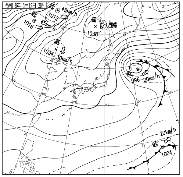
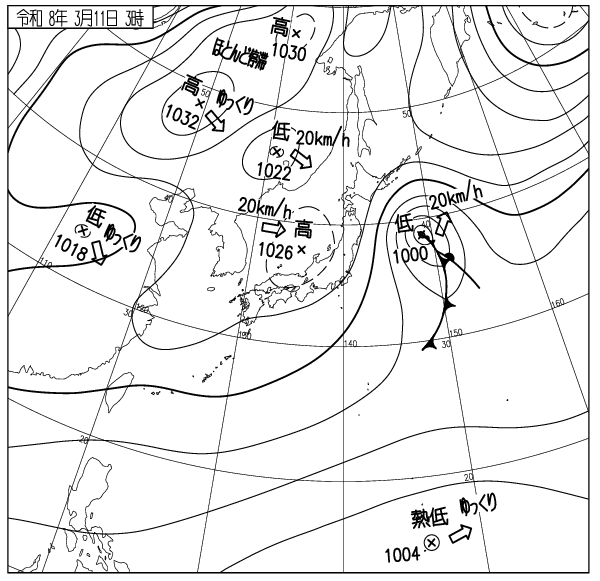
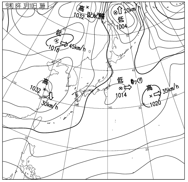
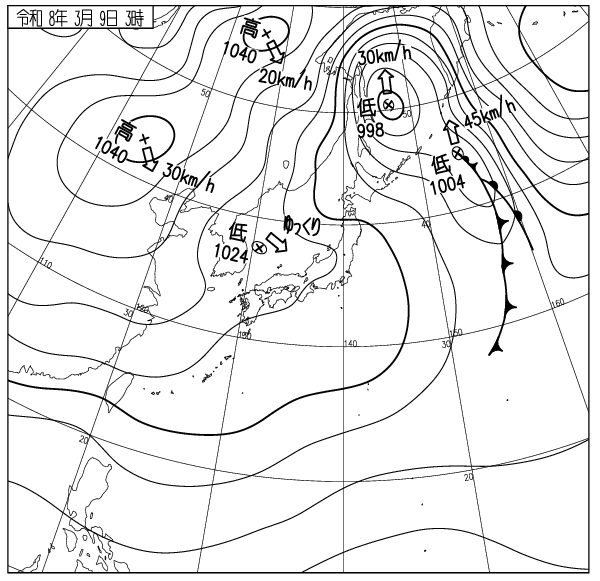
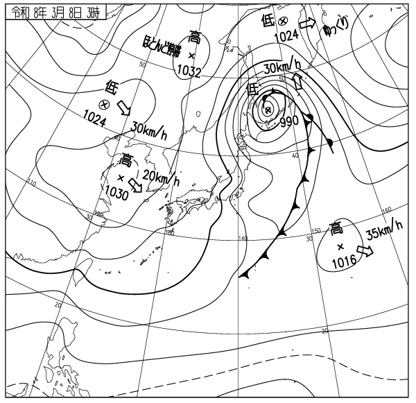
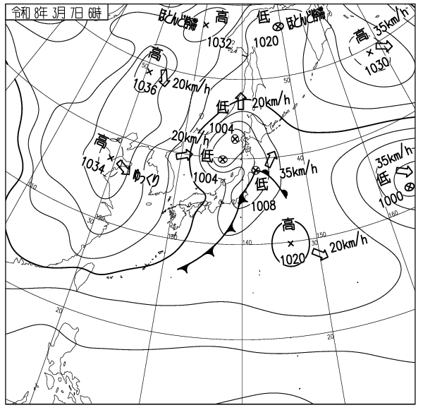
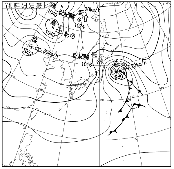
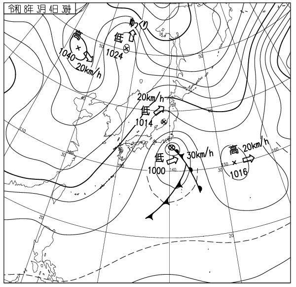
出典 Source:気象庁 JMA website (www.jma.go.jp/bosai/weather_map/)
この情報はコース外滑走の安全を保障する物ではありません This information is not to guarantee the safety of out of bounds riding. ニセコルールを守りましょう Please respect the Niseko Rules. レスキューはコース内が優先されます Inbounds rescue will be prioritised. コース外へは自己責任で Step out of bounds at your own risk.
ニセコ雪崩調査所 Niseko Avalanche Institute