モイワ山麓-5度風よわく未明から降雪強20cm モイワ800m-8.3度北北西2.1m昨夕まで南風つよくふきだまり発達大未明降雪強 アンヌプリ1100m-10.6度西0.8m ビレッジ1000m-9.4度北北東2.0m ヒラフ花園1000m-9.7度北3.6m 花園800m-7.8度北北東2.2m 日本海弁慶岬北10m 神威岬北9m気圧1005hPa波高2.3m
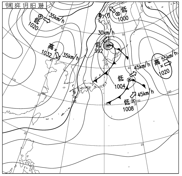
低気圧通過による南からのふきだまりは時間経過とともに安定、その後未明から降雪強、風は弱くふきだまりの発達わずか、未明までの雪の量は最大40cm、風の影響は小さい。観測と試験、データ評価から全体の雪崩リスクは低い。各ゲートは開けられる見込み、パトロールの指示に従うこと。朝までの雪による破断面の不明瞭な雪崩が起こりやすい。森の中でも速度が速いので注意。ゲレンデの暴走による事故が起きている。技量に合った滑走を。山には人が大勢いる。雪庇下の不用意なトラバースで雪崩を起こしてはならない。谷底にいてはならない。雪崩は上から来る。雪が増えて笹が埋まりはじめた。今日のパウダーは良い。立ち木衝突に注意。このスポーツに安全はない。ビーコンは持ったか? 天候急変に注意。天気図をみること。等圧線はうそをつかない。良い一日を。
Moiwa base -5℃, light wind, heavy snowfall from midnight, 20cm new snow. Moiwa 800m: -8.3℃, NNW2.1m/s, strong southerly wind during the day yesterday created large snowdrifts development, heavy snowfall from midnight. Annupuri 1100m: -10.6℃, W0.8m/s. Village 1000m: -9.4℃, NNE2.0m/s. Hirafu Hanazono 1000m: -9.7℃, N3.6m/s. Hanazono 800m: -7.8℃, NNE2.2m/s. Sea of Japan Benkei cape: N10m/s, Kamui cape: N9m/s, 1005hPa, 2.3m waves.
Snowdrifts created by the southerly wind as the low-pressure system passes through have stabilised over time. Snowfall intensified from midnight with light wind, and snowdrift development is small. New snowfall reached a maximum of 40cm, with minimal wind impact, during the early morning. Based on our observations and data, the overall avalanche risk is low. Gates are expected to open; please follow the ski patrol’s instructions. Heavy snowfall since midnight can trigger loose-snow avalanches. Be cautious as their speeds remain high even in the trees.
There’ve been quite a few accidents caused by losing control on groomers. Ski within your ability. The mountains are crowded. Do not trigger avalanches by traversing cornice slopes. Do not stay in valley bottoms. Avalanches come from above. Snow has finally begun to bury the bamboo grass. Today’s powder is good. Watch out for riding into trees. There is no safety in this sport. Did you bring your beacon? Be alert for sudden weather changes. Check the weather map. Isobars don’t lie. Have a good day.