ニセコ雪崩情報 第105号
Niseko Avalanche Information No.105
Saturday 21/03/2026 土曜日
山麓-5度風雪ふきだまり発達 モイワ800m-7.2度北北西17.6m雪庇ふきだまり大きく発達 アンヌプリ1100m-10.3度西9.6m ビレッジ1000m-8.6度北北西8.7m ヒラフ花園1000m-9.8度北10.7m 花園800m-6.4度北北東8.3m 日本海弁慶岬北北西15m 神威岬北西13m気圧1012hPa波高不明、
午前0時に風向きが変わり標高800m以上は現在も強い吹雪、雪庇とふきだまりの発達は大きく観察と各データの検討から今日の雪崩リスクは非常に高い。全てのゲートは閉じられる。周辺の山でも注意。事故は悪天候時に集中する。リスクはふきだまりが安定するまで続く。今日は風下の谷にはいらないほうが良い。少なくとも風が10m/s以下に落ちるまで待ったほうが良い。吹雪が雪崩れやすい重い雪を作る。弱線破断を知っているか? ビーコンを持つことを強く勧める。仲間を救うチャンスが生まれる。
Moiwa base 6am: -5℃, stormy, snowdrift development. Moiwa 800m: -7.2℃, NNW17.6m/s, major cornice and snowdrift development. Annupuri 1100m: -10.3℃, W9.6m/s. Village 1000m: -8.6℃, NNW8.7m/s. Hirafu Hanazono 1000m: -9.8℃, N10.7m/s. Hanazono 800m: -6.4℃, NNE8.3m/s. Coastal data: Benkei Cape NNW15m/s, Kamui Cape NW13m/s, 1012hPa, wave n/a.
At around midnight the wind direction changed, with continuing heavy blizzard conditions above 800m. There is also significant ongoing cornice and snowdrift development. From observations and data, the avalanche risk today is VERY HIGH. All gates will be closed. Caution is also needed on all the surrounding mountains as well. Accidents tend to occur during bad weather. The risk will continue until the snowdrifts stabilize. It is best to avoid leeward valleys today, and wait until the wind drops to at least 10 m/s or less. Blizzards create heavy snow that is prone to avalanches. Are you familiar with weak line breaks? I strongly recommend carrying a beacon. It can give you the ability to save your teammates.
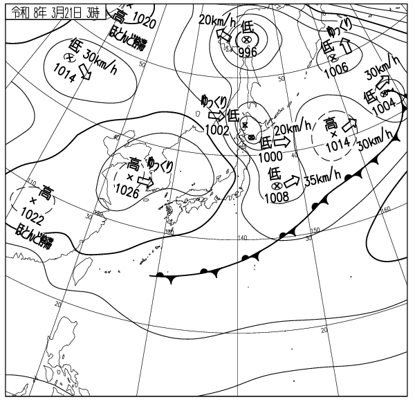
出典 Source:気象庁 JMA website (www.jma.go.jp/bosai/weather_map/)
この情報はコース外滑走の安全を保障する物ではありません This information is not to guarantee the safety of out of bounds riding. ニセコルールを守りましょう Please respect the Niseko Rules. レスキューはコース内が優先されます Inbounds rescue will be prioritised. コース外へは自己責任で Step out of bounds at your own risk.
ニセコ雪崩調査所 Niseko Avalanche Institute