モイワ山麓-12度降雪40cm モイワ800m-15.2度機械故障データなし雪庇ふきだまり発達大 アンヌプリ1100m-17.6度西北西9.9m突風20m/s ヒラフ花園-17.0度北北東3.2m 花園800m-8.2度北北東2.0m 日本海弁慶岬北西19m 神威岬西南西15m気圧1003hPa波高3.0m、
昨日正午までの低気圧降雪30cmの後、山系西側は西寄りの猛烈な吹雪。風成雪のふきだまりが風下に急激に成長し100-150cm、雪庇は200cm以上。山系西側では標高を問わず破断面50cm以上の大規模な面発生雪崩が起こりやすい。事故の多くは強い風雪時に風下の谷で起こる。注意。昨日の低気圧降雪の雪崩にも注意。低気圧降雪の雪崩は破断面が不明瞭だが森の中でも起こり危険。各ゲート開閉は未定、パトロールに従うこと。
アンベツで行方不明者が出ており朝から消防と道警による再捜索の予定。モイワ方面で日本人の事故が多いのが気になる。この情報は過去40年前の雪崩事故多発を受けて必要から始められたが、再考する時期に来ているように思う。情報もニセコルールも、少なくとも観光振興を目的に続けられて来たわけではない。
Moiwa base: -12℃, 40cm snowfall. Moiwa 800: -15.2℃, no wind data, large cornice and snowdrift development. Annupuri 1100m: -17.6℃, WNW9.9m/s with 20m/s gusts. Hirafu Hanazono 1000m: -17.0℃, NNE3.2m/s. Hanazono 800m: -8.2℃, NNE2.0m/s. Sea of Japan Benkei cape NW19m/s, Kamui cape WSW15m/s, 1003hPa, 3.0m waves.
Following the 30cm of snowfall until yesterday noon, the west side of the mountain range has experienced a severe blizzard from the west. Wind-drifted snow has rapidly accumulated on leeward slopes, reaching 100–150cm, with cornices exceeding 200cm. Large-scale slab avalanches with crown fractures of 50cm or more are highly likely on the western side of the mountain range, regardless of elevation. Most accidents occur in leeward gullies during heavy wind and snow. Use extreme caution. Be aware that avalanches caused from yesterday’s low-pressure snowfall are also a threat. These avalanches often have indistinct fracture lines but can occur even within forest areas and are extremely dangerous. Gate openings remain undecided; follow the ski patrol instructions.
A search operation by the fire department and police is scheduled to resume this morning for a person missing in the Anbetsu area. There is a concerning trend of accidents involving mainly Japanese nationals in the Moiwa area. This Avalanche Information service was established 40 years ago out of necessity following a series of fatal avalanches. It may be time to reconsider its role. It is important to remember that neither this information nor the Niseko Rules were ever intended and continued for the purpose of tourism promotion.
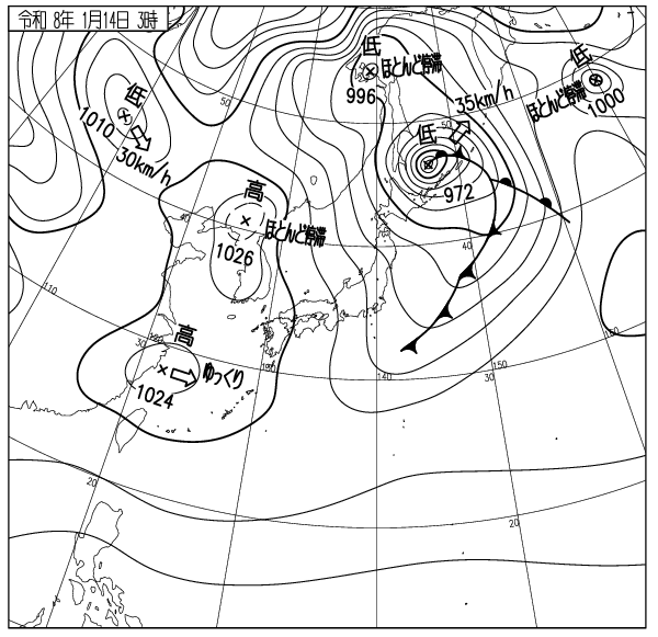
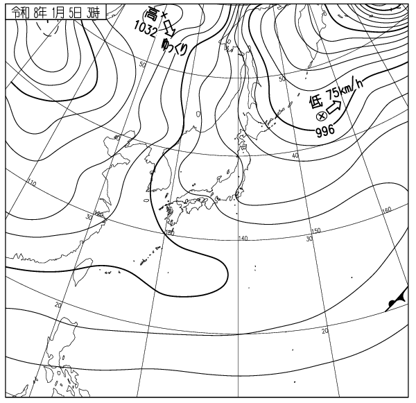
出典 Source:気象庁 JMA website (www.jma.go.jp/bosai/weather_map/)