山麓-5度降雪30cm重い風成雪 モイワ800m-8.1度 北北西17m突風30m/s観測不能 アンヌプリ1100m -10.3度 西北西14.4m ビレッジ1000m-9.0度 北北西17.9m ヒラフ花園-8.7度北16.2m 花園800m-7.5度北11.9m 日本海弁慶岬北北西17m (昨22時27m) 神威岬北16m気圧1010hPa波高5.0m、
低気圧通過後強い冬型の気圧配置、昨22時以降気圧傾度強まり海上、山ともに暴風雪、波高5m、雪の量は多く密度の高い重い風成雪が多量に堆積、層に関係なく弱線破断しやすい。ニセコ山系と周辺山岳の雪崩リスクは非常に高い。各ゲートは閉じられる。パトロールの指示に従うこと。重い風成雪は樹林帯の中であっても雪崩を起こす。ニトヌプリでは注意。ニセコの雪崩事故の多くは多量の降雪を伴う風雪時に多く起こっている。ピットチェック判断を過信してはならない。層の有無に関わらず風成雪スラブの構造脆弱性が雪崩の原因となる。午後に等圧線がゆるみふきだまりの圧密が始まるが、降雪推移から雪崩リスクは夜半まで高い状態が続く。ロープをくぐり立ち入り禁止区域に入ってはならない。今日はゲレンデから出ないほうが良い。雪は深く重い。転倒立ち木衝突に注意。アンヌプリ大沢雪庇面標高1000mの雪崩リスクは非常に高い。雪崩走路となる谷底にいてはならない。この情報はスキー場利用者の安全のために出されている。ニセコルールの尊重を。
Mountain base: -5°C, 30cm snowfall, heavy wind-affected snow. Moiwa 800m: -8.1°C, NNW 17m/s (gusts 30m/s), observation not possible. Annupuri 1100m: -10.3°C, WNW 14.4m/s. Niseko Village 1000m: -9.0°C, NNW 17.9m/s. Hirafu Hanazono: -8.7°C, N 16.2m/s. Hanazono 800m: -7.5°C, N 11.9m/s. Sea of Japan Benkei Cape: NNW 17m/s (27m/s at 22:00 last night). Kamui Cape: N16m/s, 1010hPa, 5.0m waves.
A strong winter pressure pattern has set in following the passage of the low-pressure system. Since 22:00 last night, the pressure gradient has tightened, bringing blizzard conditions to both the sea and the mountains, with wave heights reaching 5m. A large amount of high-density, heavy wind-packed snow has accumulated, making the pack highly susceptible to fractures along lines of weakness regardless of layering. The avalanche risk for the Niseko range and surrounding mountains is EXTREMELY HIGH. All gates will remain closed. Follow the instructions of the ski patrol. Heavy wind-affected snow can trigger avalanches even within the tree line; use extreme caution touring Nitonupuri. Most avalanche accidents in Niseko occur during blizzards accompanied by heavy snowfall. Do not over-rely on pit-check risk assessments. The structural fragility of the wind-packed slabs causes avalanches, regardless of the presence of specific layers. While the pressure gradient will loosen in the afternoon and slabs will begin to consolidate, however, looking at the snowfall transition, the risk remains high until late tonight. Do not duck the ropes or enter strictly prohibited areas. It is best to stay within the resort boundaries today. The snow is deep and heavy. Watch out for falls and tree collisions. The avalanche risk on the Osawa cornice face at 1000m is extremely high. Do not stay at the bottom of gullies; avalanches run through them. This information is issued for the safety of all resort users. Please respect the Niseko Rules.
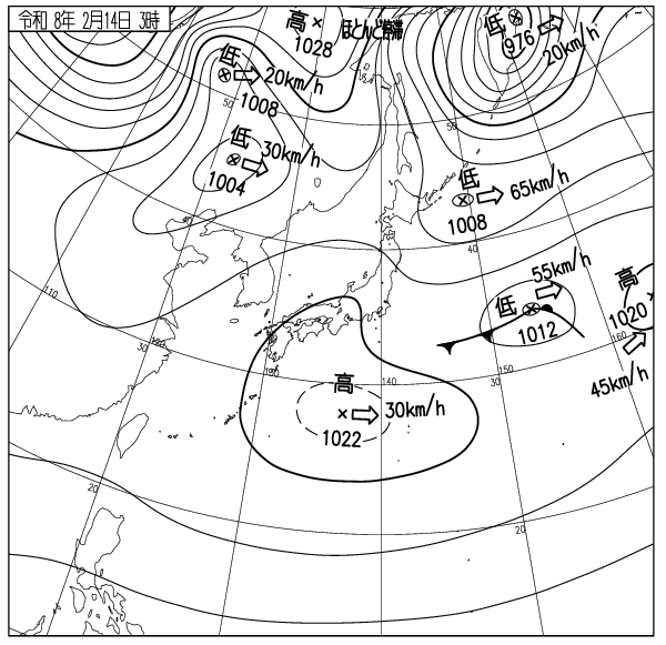
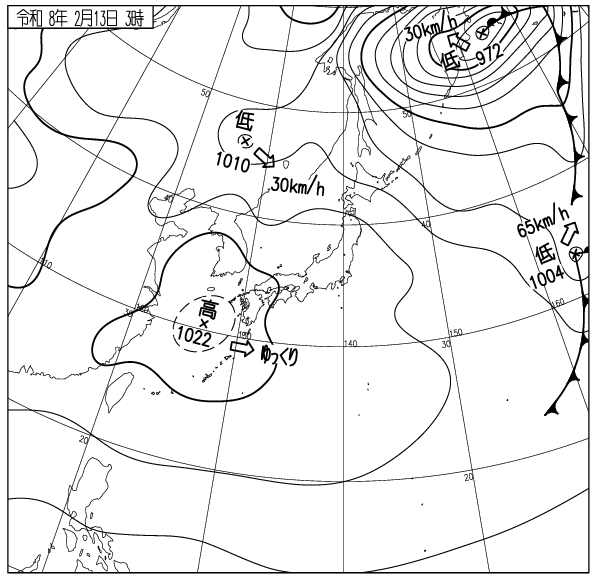
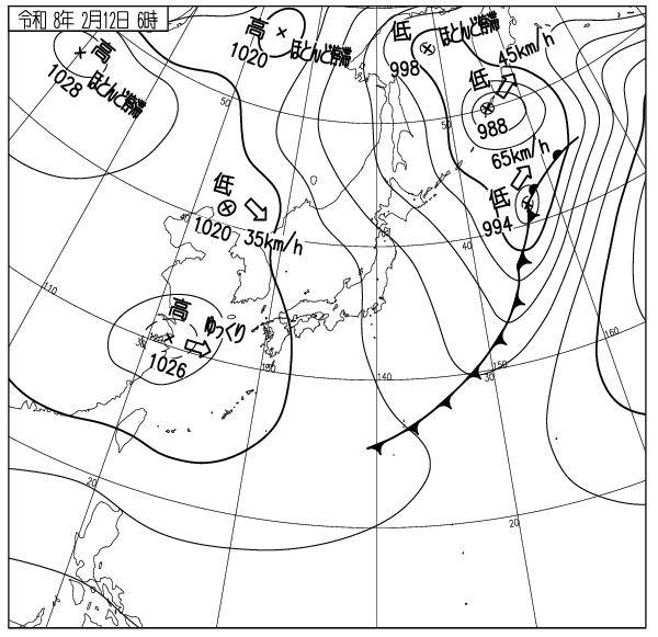
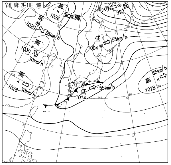
出典 Source:気象庁 JMA website (www.jma.go.jp/bosai/weather_map/)