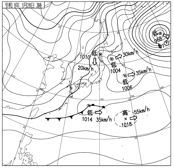
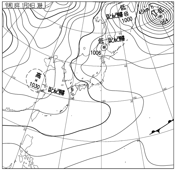
山麓6時-10度風よわく降雪なし モイワ800m機械故障降雪なし静穏 アンヌプリ1100m-12.0度北2.7m ビレッジ1000m-10.6度北北東3.3m ヒラフ花園1000m-11.3度北3.3m静穏降雪なし 花園800m-9.1度北西1.9m 海上弁慶岬南3m 神威岬東5m気圧1014hPa波高1.5m、
低圧帯の中で気圧の傾きゆるく海上、山ともに穏やか、降雪なし。試験及びデータ評価、リスク推移の検討から全体の雪崩リスクは低い。各山頂ゲートは開けられる。パトロールの意見を聞き準備してコース外へでること。雪を求めてロープをくぐり、立ち入り禁止区域を滑ってはならない。新たに立ち入りが禁止されたアンベツ谷に地図アプリを見て入ってはならない。
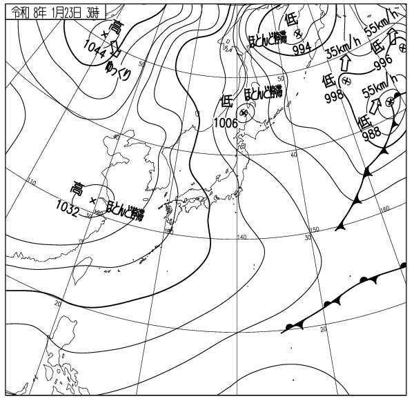
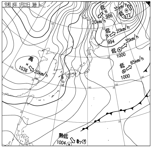
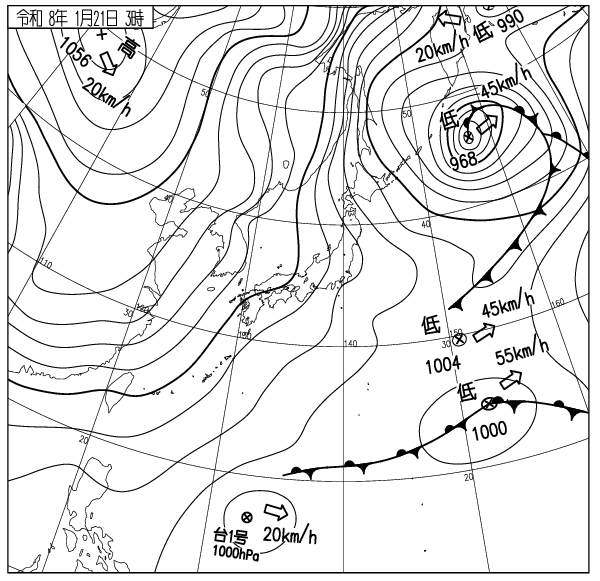
ニセコ雪崩情報は気象変化と降雪推移から雪崩リスクを量り、それを毎朝示している。この方法は従来広く行われてきた弱層理論のみに依拠する方法と根本的に異なる。表層雪崩が雪中の弱いところから起こるのは科学的真理だが、ここでは主に吹雪が作るふきだまりの発達推移から斜面と標高ごとの危険を予測し、事故防止に役立てている。
ゲレンデの圧雪は完璧に行われている。朝のうち視界は良いが天候急変に注意。明日の情報はメンテナンスのため休止する。良い一日を。
Moiwa base at 6am: -10℃, light wind, no snowfall. Moiwa 800m: data n/a, no snowfall, calm. Annupuri 1100m: -12.0℃, N2.7m/s. Village 1000m: -10.6℃, NNE3.3m/s. Hirafu Hanazono 1000m: -11.3℃, N3.3m/s, no snowfall, calm. Hanazono 800m: -9.1℃, NW1.9m/s. Sea of Japan Benkei cape S3m/s, Kamui cape E5m/s, 1014hPa, 1.5m waves.
We are in a low-pressure zone, with a wide atmospheric gradient, and both the sea and the mountains are calm, with no snowfall. Based on tests, data evaluation, and risk trend analysis, the overall avalanche risk is low. All peak gates will open. Listen to the patrol’s advice and prepare before leaving the gates. Do not duck ropes and ride strictly off-limits areas to seek snow. Do not enter the recently restricted Anbetsu area by following map apps.
Niseko Avalanche Information assesses avalanche risk based on weather changes and snowfall trends, providing updates every morning. This approach fundamentally differs from the widely used method that relies solely on weak-layer theory. While it is a scientific truth that surface avalanches originate from weak points within the snowpack, here we primarily predict slope and elevation-specific hazards based on the development and progression of snowdrifts created by blizzards, aiding in accident prevention.
The groomers are in perfect condition today. Visibility is good in the morning, but beware of sudden weather changes. Tomorrow’s information will be suspended for maintenance. Have a good day.
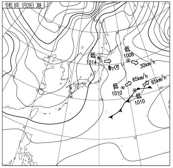
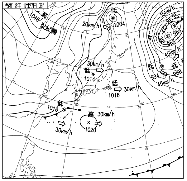
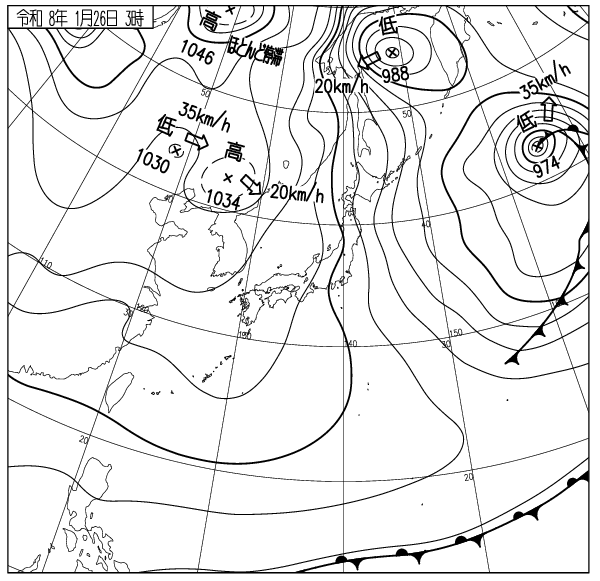
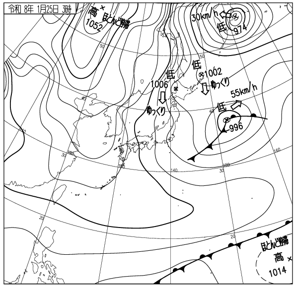
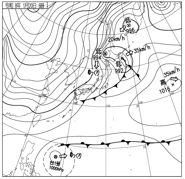
出典 Source:気象庁 JMA website (www.jma.go.jp/bosai/weather_map/)