山麓-5度降雪わずか モイワ800m-7.4度北北西8.4m午前4-5時強風20m/s雪庇ふきだまり発達 アンヌプリ1100m-9.9度西4.2,m ビレッジ1000m-8.4度北北西5.0m ヒラフ花園-9.3度北3.2m夜半から未明降雪10cm 花園800m-6.8度北北西4.3m 日本海弁慶岬北西14m 神威岬北北東3m気圧1013hPa波高1.5m。
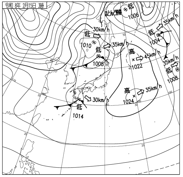
低気圧通過後、西高東低の気圧配置、山は夜半から未明まで西寄りの風雪によるふきだまりが発達、雪は2/15温度勾配層上に積もっており場所により底当たりする。量は標高1000mノールで50-100cm、午前中の雪崩リスクはやや高い。風が落ちてリフトが動けば主なゲートは開けられる。パトロールの指示に従うこと。大沢雪庇面標高1100m、鉱山の沢側壁標高1000mでは浅い(40cm)風成雪スラブの破断による速度の速い雪崩が出やすいので注意。標高を下げて森まで下りれば雪は良い。立ち木衝突に注意、木には勝てない。ニセコはコース外滑走を容認しニセコルールを運用している。コース外では常に用心を。経験や知識を過信してはならない。またルールで定められた立ち入り禁止区域には絶対に入ってはならない。コース外滑走の自由のためにもニセコルールの尊重を。ビーコンやショベル、ショートロープやプローブは持ったか? 山は悪くない。良い一日を。
Mountain base: -5°C, minimal snowfall. Moiwa 800m: -7.4°C, NNW 8.4m/s, 20m/s gusts between 4:00-5:00 AM, cornices and snowdrifts developing. Annupuri 1100m: -9.9°C, W 4.2m/s. Niseko Village 1000m: -8.4°C, NNW 5.0m/s. Hirafu Hanazono: -9.3°C, N 3.2m/s, 10cm snowfall from midnight to dawn. Hanazono 800m: -6.8°C, NNW 4.3m/s. Sea of Japan Benkei Cape NW14m/s, Kamui Cape NNE3m/s, 1013hPa, 1.5m waves.
Following the passage of the low-pressure system, a winter pressure pattern has set in. Snowdrifts developed from midnight to dawn due to the westerly winds. The new snow sits on top of the Feb 15th temperature gradient layer. You will feel the firm base underneath in some spots. Accumulation on knolls at 1000m elevation is 50-100cm; the avalanche risk this morning is relatively high. If the winds subside and lifts begin operating, the main gates will open. Follow the instructions of the ski patrol. Be cautious as fast-moving avalanches caused by shallow (40cm) wind-slab fractures are likely on the Osawa cornice face (1100m) and the Kozan-no-sawa sidewalls (1000m). Snow conditions improve as you descend into the trees. Watch out for tree collisions; you won’t win against a tree. Niseko permits out-of-bounds skiing and operates under the Niseko Rules. Always be cautious when outside the resort boundaries. Do not be overconfident in your experience or knowledge. Furthermore, you must never enter the strictly prohibited areas defined by the rules. Please respect the Niseko Rules for the sake of the freedom to ski out-of-bounds. Do you have your beacon, shovel, short rope, and probe? The mountain condition is not bad. Have a great day.
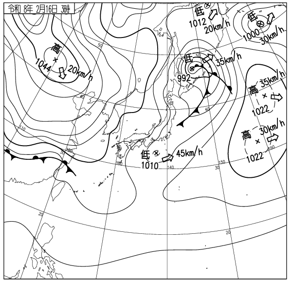
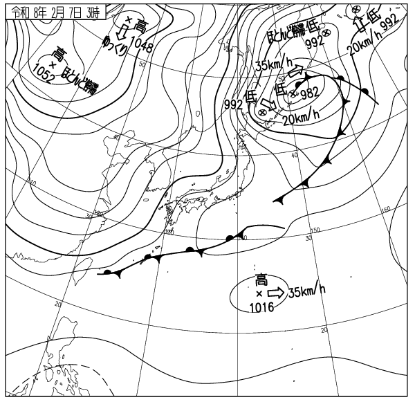
出典 Source:気象庁 JMA website (www.jma.go.jp/bosai/weather_map/)