ニセコ雪崩情報 第62号
Niseko Avalanche Information No.62
Friday 06/02/2026 金曜日
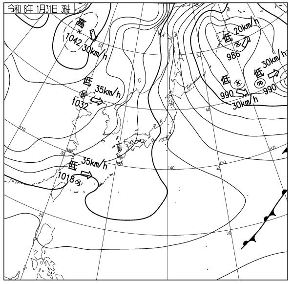
モイワ山麓-5度風つよく降雪15cmふきだまり発達 モイワ800m-8.7度西北西14.8m ふきだまり発達急激 アンヌプリ1100m,-10.7度西15.8m ビレッジ1000m-9.5度西南西11.1m ヒラフ花園1000m-8.8度北7.5m 神威岬南西26m気圧999hPa波高2.2m、
午前3時に西風が強まり山は猛烈な吹雪、ふきだまりが急激に発達し、風下斜面の雪崩リスクは標高を問わず今後高まる。海上波高は4m以上になる見込み、今日のツアーはやめたほうが良い。またゲレンデから出ないほうが良い。新たなふきだまりが厚さ100cmを越えれば雪板(ふきだまり・風成雪スラブ)の重量増加による構造的脆弱性が原因で弱線破断しやすくなる。現在、モイワスキー場標高800m地点で防災科学研究所による研究と実験が行われている。協力するモイワスキー場に感謝するとともに、厳しい環境下での研究者の努力に敬意を表す。主なゲートは事故防止のため閉じられる。パトロールの目を盗みロープをくぐってコース外を滑ってはならない。今日は温泉にでも行ったほうが良い。交通事故と屋根からの落雪に注意。
Moiwa base 6am: -5℃, strong wind, 15cm snowfall, snowdrift development. Moiwa 800m: -8.7℃, WNE14.8m/s, rapid snowdrift development. Annupuri 1100m: -10.7℃, W15.8m/s. Village 1000m: -9.5℃, WSW11.1m/s. Hirafu Hanazono 1000m: -8.8℃, N7.5m/s. Coastal data: Kamui Cape SW26m/s, 999hPa, 2.2m waves.
Westerly winds strengthened at 3:00 AM, bringing a fierce snowstorm to the mountains. Snowdrifts are rapidly developing. The avalanche risk on leeward slopes is increasing at all elevations. Ocean wave heights are expected to exceed 4m. It is recommended to cancel today’s tour. It is also recommended to stay off the slopes today. If new snowdrifts exceed 100cm in thickness, the increased weight of the snow plates (snowdrifts and wind snow slabs)will make them susceptible to weak line fractures due to structural weaknesses. Currently, research and experiments are being conducted by the National Research Institute for Earth Science and Disaster Prevention at Moiwa Ski Resort @ 800m. We are grateful to Moiwa Ski Resort for their cooperation, and we respect the efforts of the researchers in such a harsh environment. Main gates will be closed to prevent accidents. Do not sneak past patrol and duck ropes to ski off the course. It might be a good idea to go to a hot spring today. Be careful of traffic accidents and snow falling from roofs.
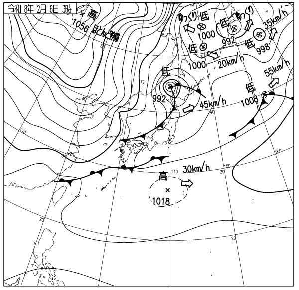
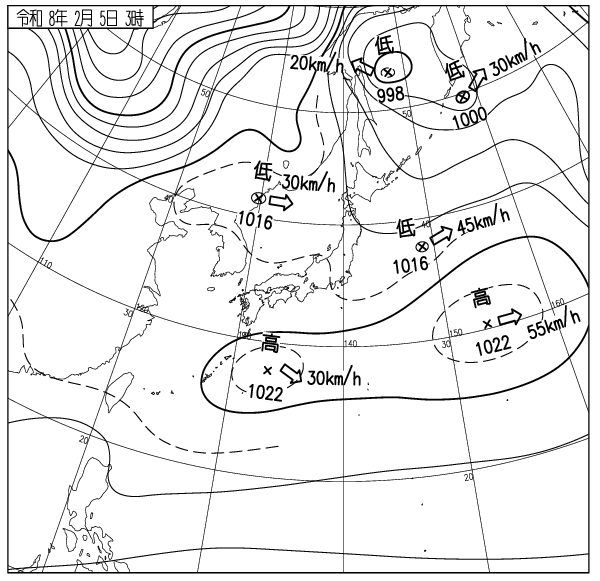
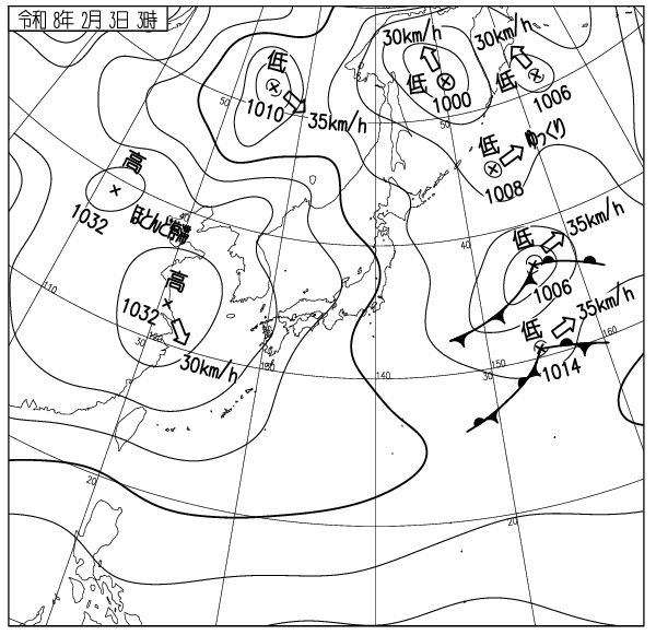
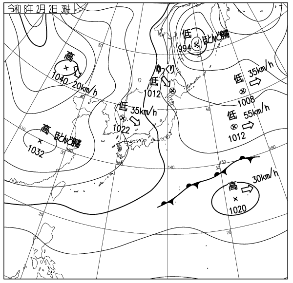
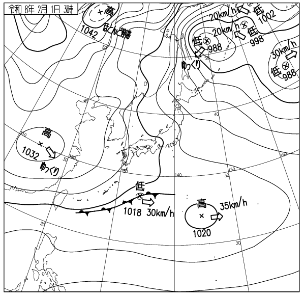
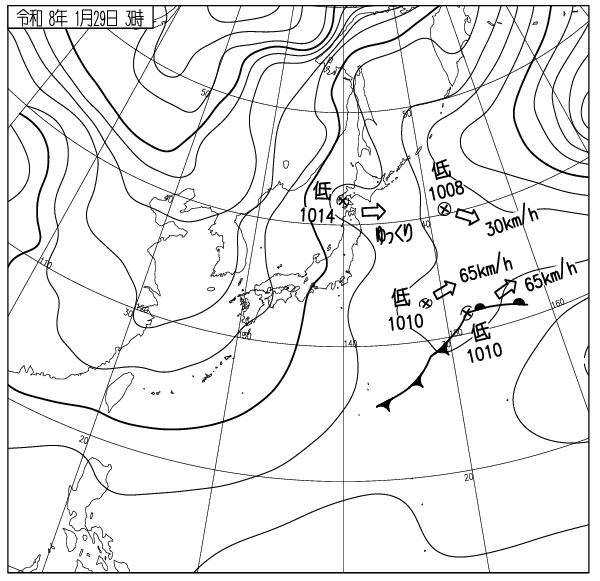
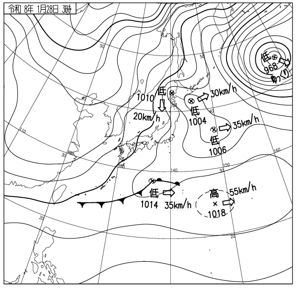
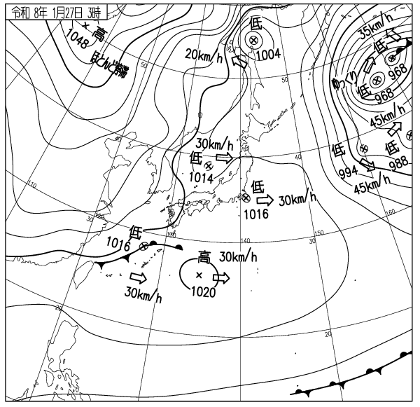
出典 Source:気象庁 JMA website (www.jma.go.jp/bosai/weather_map/)
この情報はコース外滑走の安全を保障する物ではありません This information is not to guarantee the safety of out of bounds riding. ニセコルールを守りましょう Please respect the Niseko Rules. レスキューはコース内が優先されます Inbounds rescue will be prioritised. コース外へは自己責任で Step out of bounds at your own risk.
ニセコ雪崩調査所 Niseko Avalanche Institute