モイワ山麓0度風弱く降雪なし凍結 モイワ800m-3.1度風弱く降雪わずか アンヌプリ1100m-5.8度東南東0.0m ヒラフ花園-5.7度風よわく風力0視界良 花園800m-2.7度南0.0m濃霧視界不良 日本海弁慶岬風弱く 神威岬北4m気圧1011hPa波高0.5m、
低圧帯の中で気圧の傾きなく海上、山ともにおだやか、暖気後の寒気流入で気団置換し東側800m以下は霧、1000m以上は視界良、観測各データの評価から雪崩リスクは低い。マイナス気温が続いた標高800m以上のコース状況は良いが、雪が解けた標高600m以下は凍結後の圧雪のため場所によりイモ畑化している。注意。
一昨日、子供が機械に巻き込まれて死亡する痛ましい事故が起っている。家族の悲痛な気持ちを思えば言葉もない。事故は他人事ではない。残念という気持ちとともに、深く哀悼の意を捧げる。
Mowia base 0℃, light wind, no snowfall and icy. Moiwa 800m: -3.1℃, light wind, slight snowfall. Annupuri 1100m: -5.8℃, ESE0m/s. Hirafu Hanazono: -5.7℃, zero wind, good visibility. Hanazono 800m: -2.7℃, S0.0m/s, thick fog, bad visibility. Sea of Japan Benkei cape light wind, Kamui cape N4m/s, 1011hPa, 0.5m waves.
The pressure gradient remains weak within the low-pressure zone, bringing calm conditions to both sea and mountain. A cold air mass is currently replacing the previous warm air. Consequently, fog is present on the eastern slopes below 800m, while visibility remains good above 1000m. Based on our observations and data evaluation, the avalanche risk is low. Course conditions above 800m remain good due to sustained sub-zero temperatures. However, below 600m, where the temperature went above freezing level, the groomed surface has frozen, leaving the terrain rough with ice chunks in places. Please ski with caution.
A tragic accident occurred the day before yesterday, where a child lost his life after being entangled in a machine. Words cannot express the profound sorrow we feel for the family during this heartbreaking time. Accidents are not just someone else’s problem. We are deeply saddened to hear this tragedy and offer our sincerest heartfelt condolences.

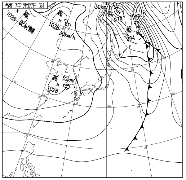
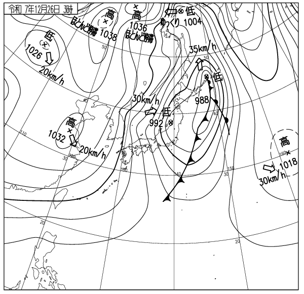
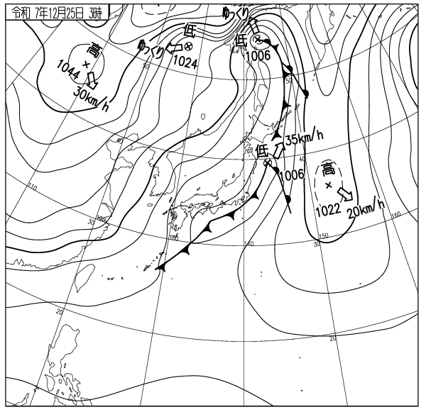
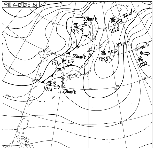
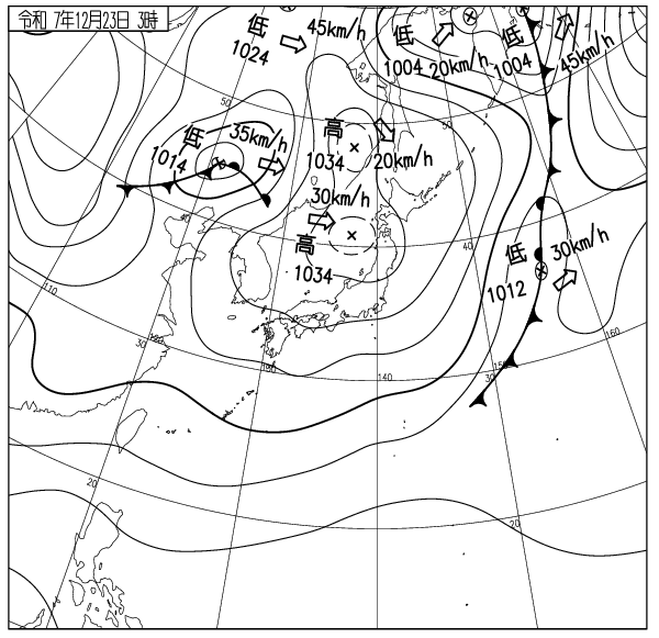
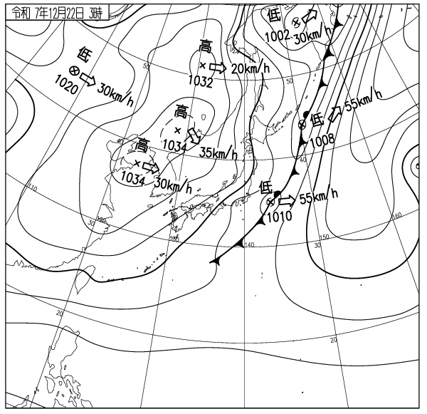
出典 Source:気象庁 JMA website (www.jma.go.jp/bosai/weather_map/)